27 Jul Hidden Valley Expansion
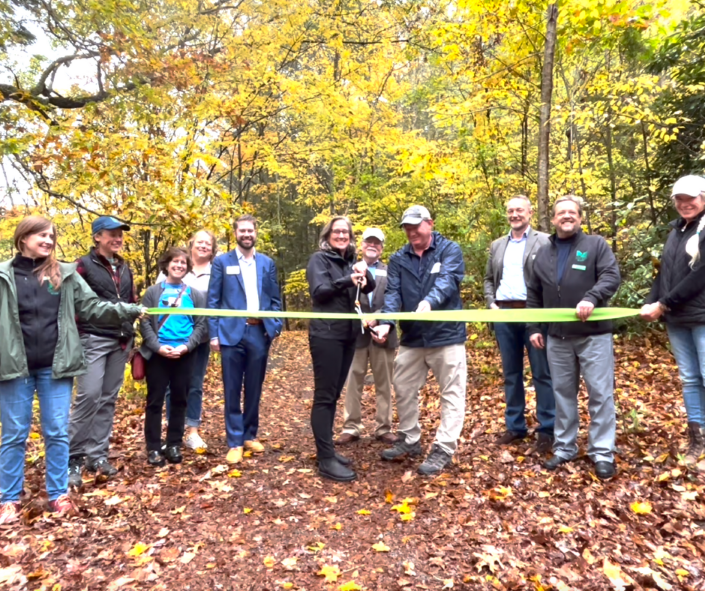
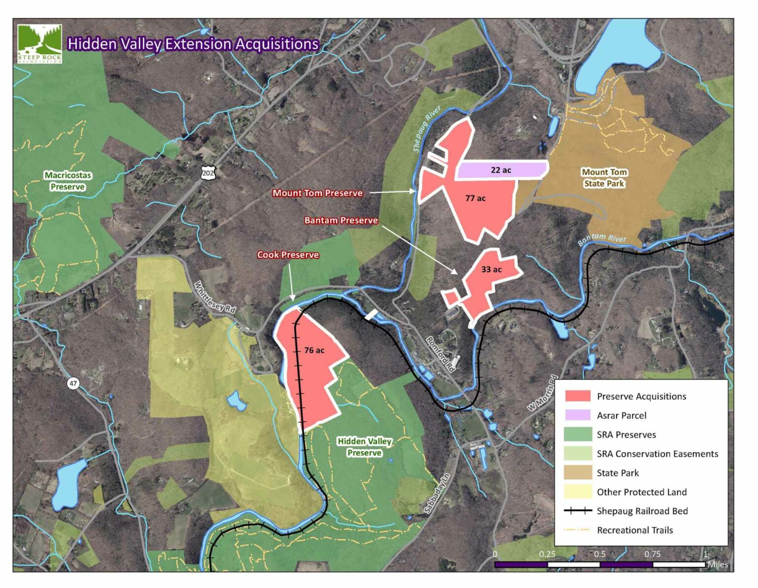
Thanks to you, Steep Rock closed on the acquisitions of four forested properties that expand Hidden Valley by 25%–a plan that’s been 17 years in the making!
A Testament to Community Spirit
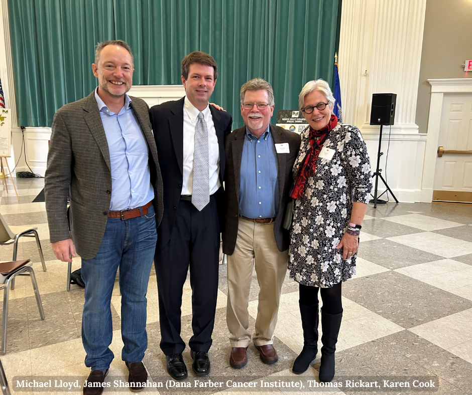
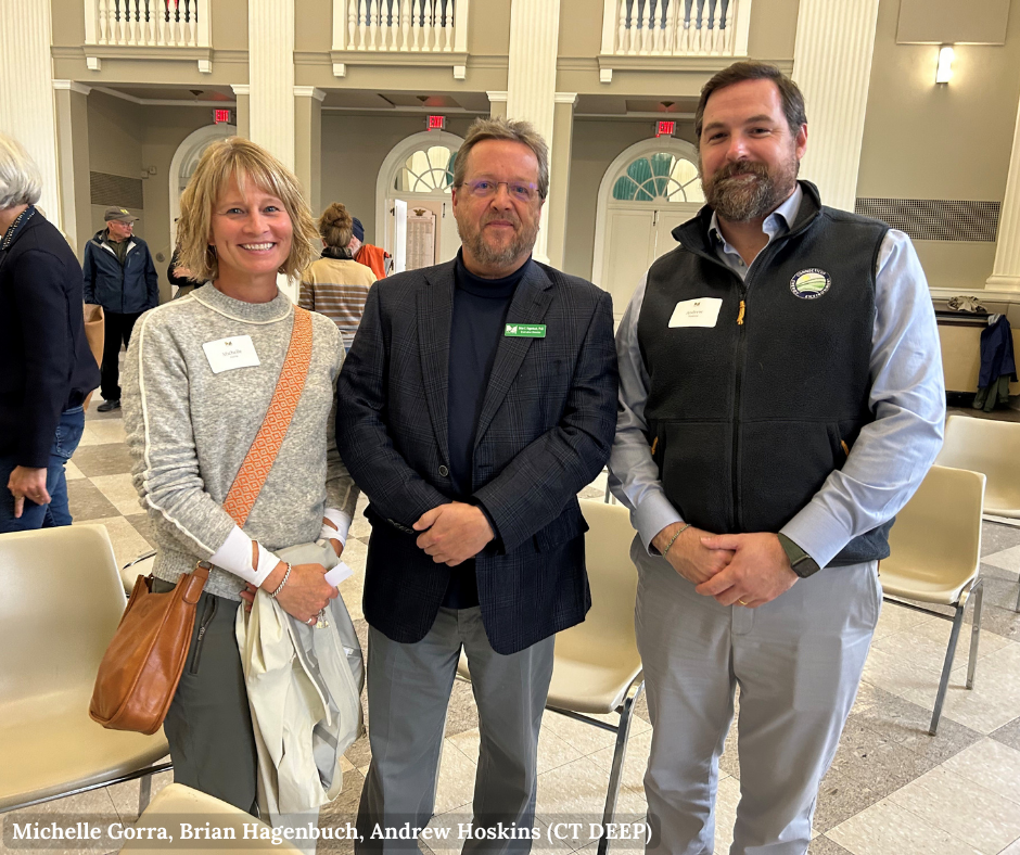
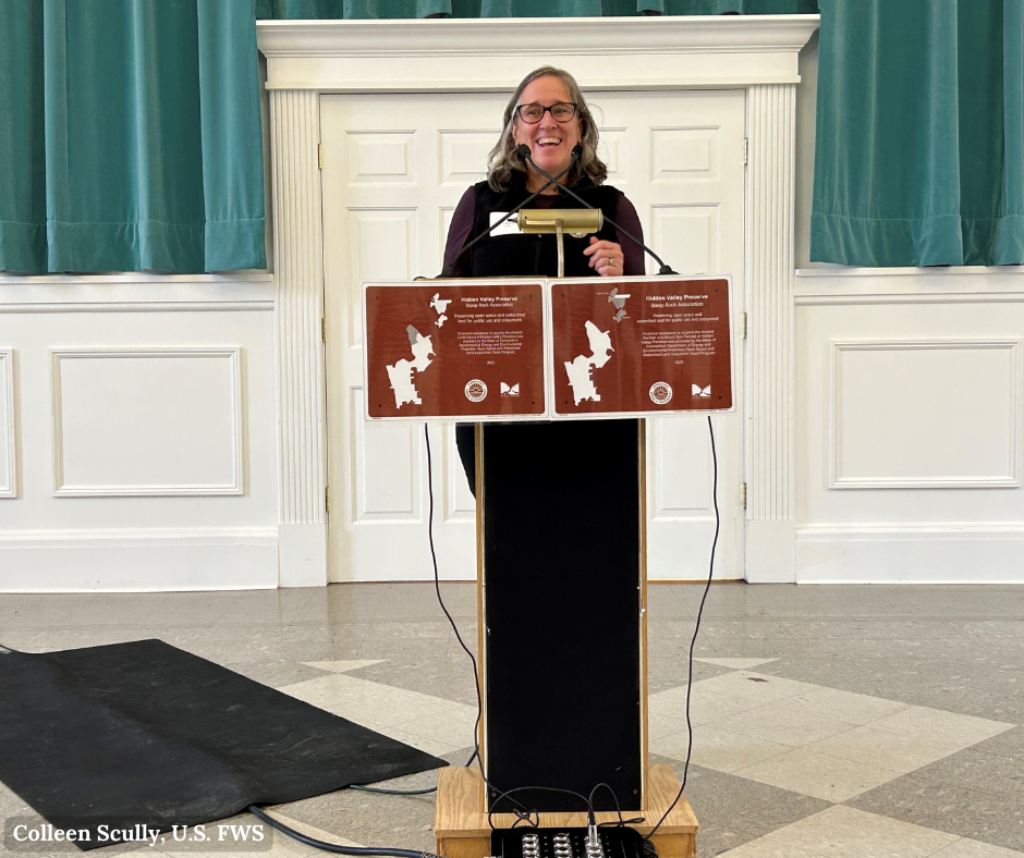
Rain couldn’t dampen our spirits as more than 40 passionate people gathered to celebrate Steep Rock’s landmark achievement—the acquisition of 206 acres of forested properties that expand Hidden Valley Preserve more than 25%! Our Hidden Valley Expansion project stands as a shining example of what’s possible when a community comes together with a common goal of protecting the natural spaces we all cherish.
At a cost of $2.9 million, we are incredibly grateful for funding from the U.S. Fish and Wildlife Service, Connecticut Department of Energy & Environmental Protection (DEEP), John T. and Jane A. Wiederhold Foundation—a supporting organization of the Northwest CT Community Foundation, Lilah Hilliard Fisher Foundation, David L. Klein Jr. Foundation, and Connecticut Land Conservation Council as well as more than 120 donors.
Our heartfelt appreciation goes out to the agencies, foundations, and generous individuals who have been a part of this journey. Your belief in this cause and your investment in our community’s future are what made this dream a reality.
Proposed Trails
Click on the map below to enlarge.
