Our Centennial Sponsors
Points of Interest
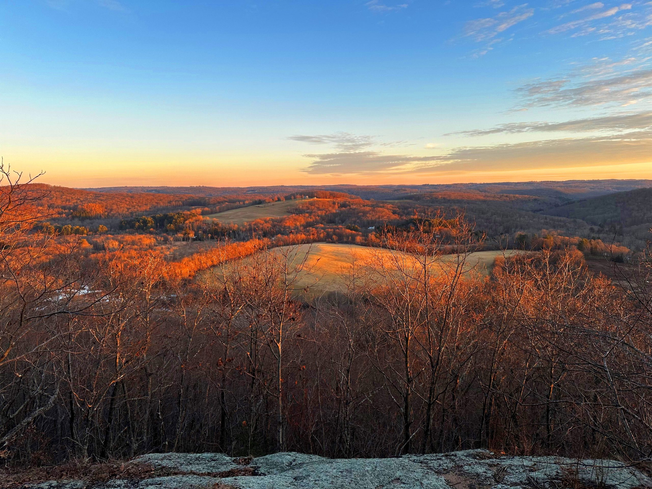
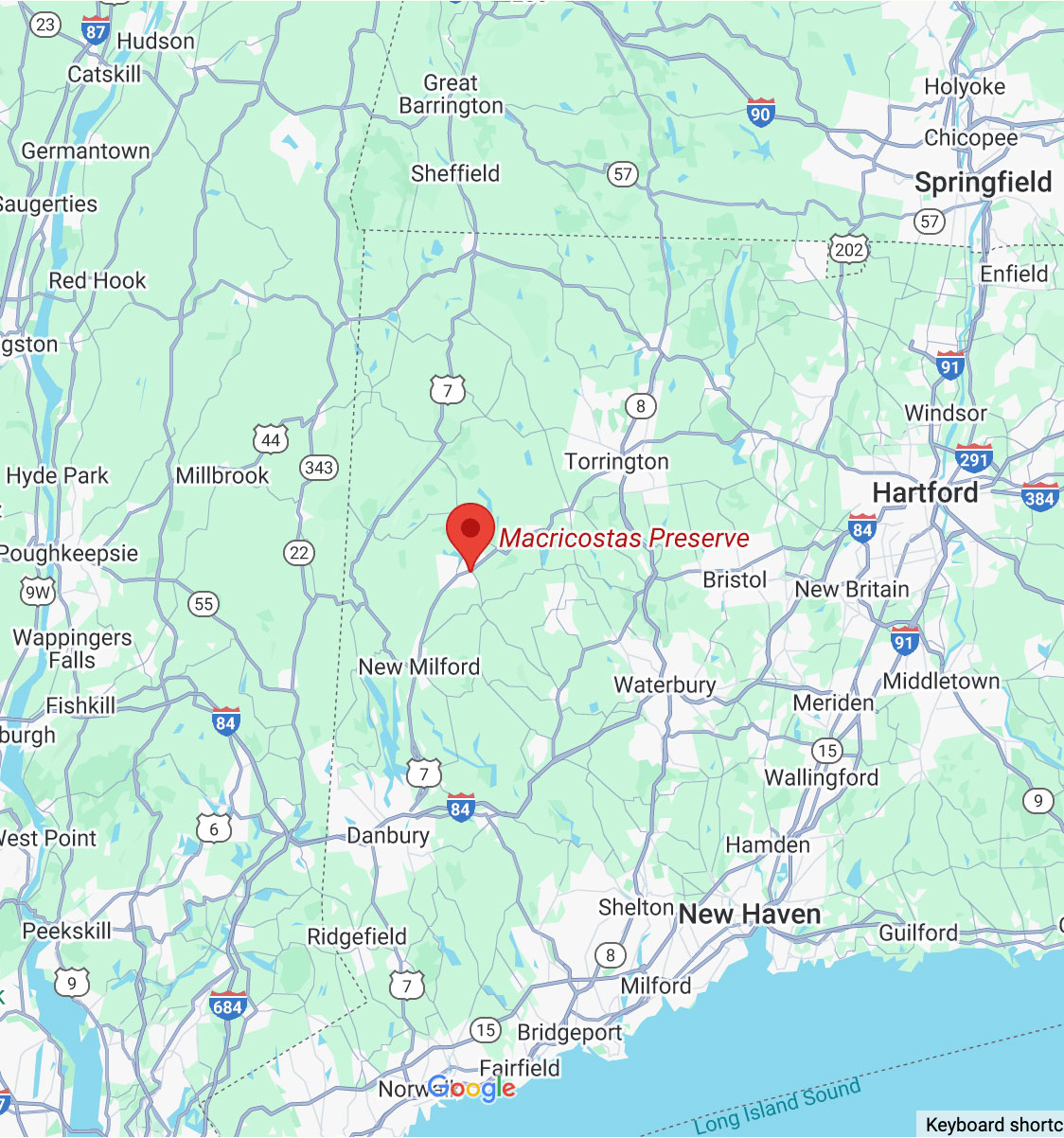
The 547-acre Macricostas Preserve, located adjacent to Steep Rock’s office and Judea Garden, offers a spectacular variety of popular hiking trails, scenic bridges and boardwalks, wildlife viewing opportunities, and awe-inspiring vistas.
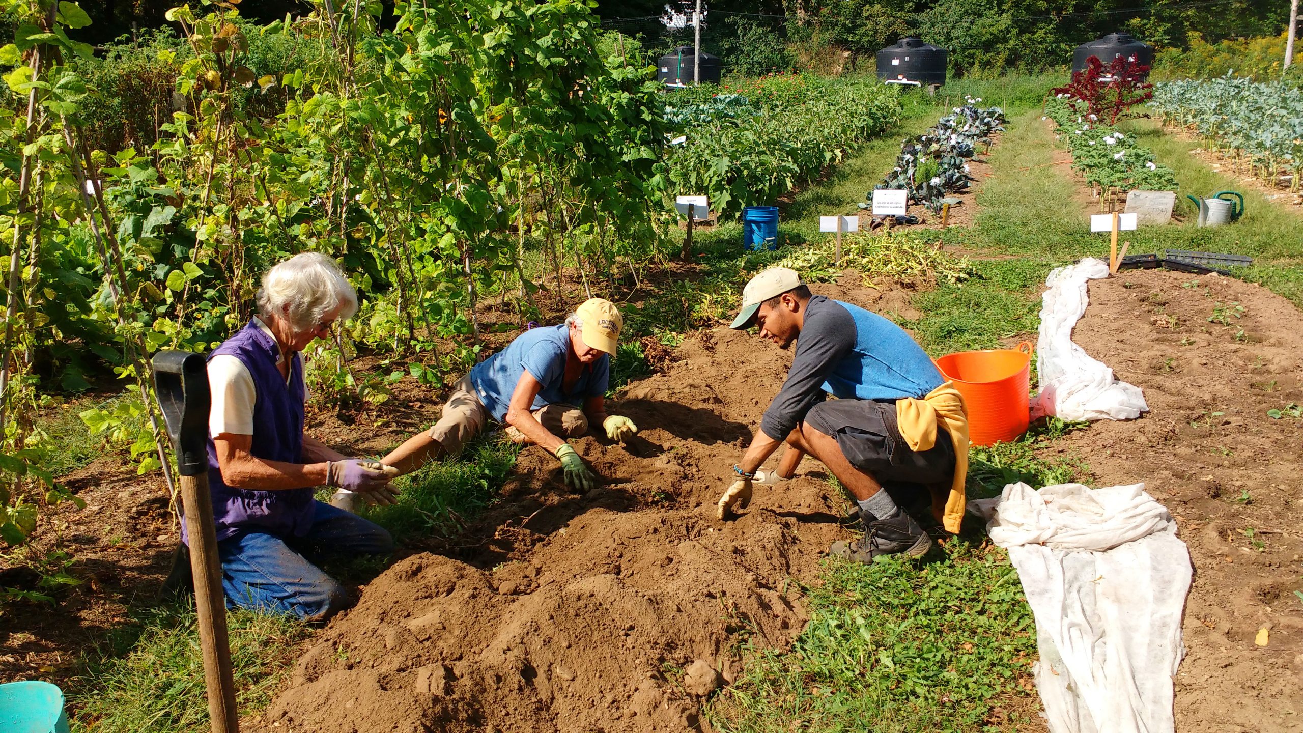
1. Judea Garden
Judea Garden began in spring 2009. Our goal was to provide fresh produce for members of our community with limited financial resources. We also wanted to give volunteers an opportunity to continue to help their neighbors during difficult economic times. Judea Garden located at Macricostas Preserve, literally blossomed as a result of donations of cash and sweat equity by close to 100 individuals, schools, churches, civic organizations and businesses.
Directions to Judea garden
Directions: Located right next to the farm house by the parking lot for the preserve.
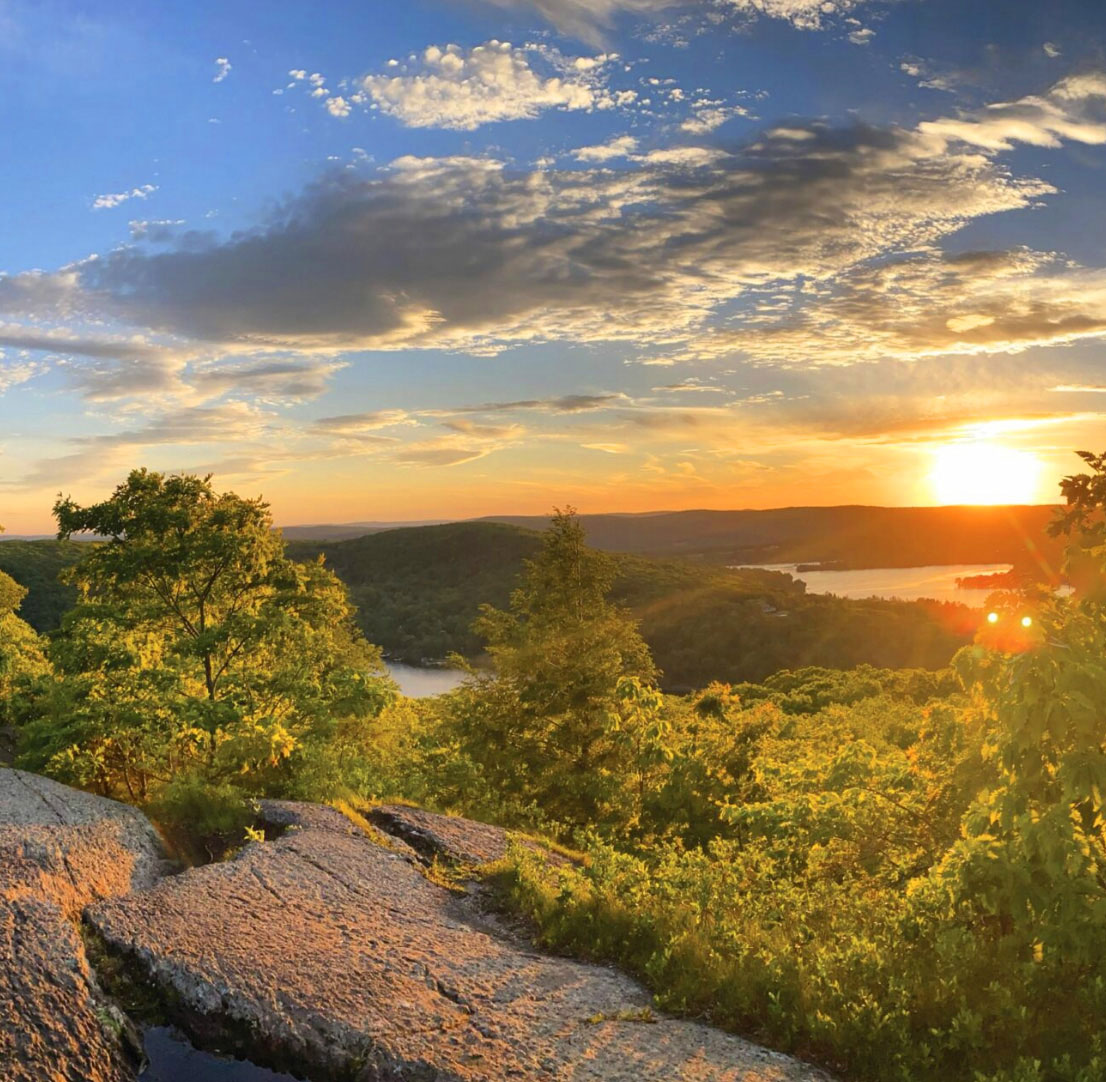
2. Waramaug’s Rock
At an elevation of 1,250 feet, Waramaug’s Rock is a spectacular overlook providing panoramic views of Lake Waramaug and the surrounding countryside. Named after a chief of the Wyantenock Indian tribe, Lake Waramaug is the second largest natural lake in Connecticut, an ecologically vital habitat for wildlife and a recreational center for the Towns of Washington, Warren and Kent. The awe-inspiring views from the top are a rewarding dividend for the steep hike.
Directions to waramaug’s rock
Directions: Follow the Yellow Circle Trail from the parking lot. Perhaps the most physically challenging hike in any of the preserves, this 45-minute climb also may be the most rewarding. The trail starts flat, crosses over Bee Brook and meanders through a large wildlife meadow before skirting a hayfield to the forest edge. After crossing Bee Brook again, the path then climbs steeply along a series of switchbacks before emerging at the Lookout. From this point, it’s another 15 minutes of steady climbing before the trail finally emerges among the clouds at Waramaug Rock, the weathered and windswept crown of Lake Waramaug. (1.69 miles one-way)
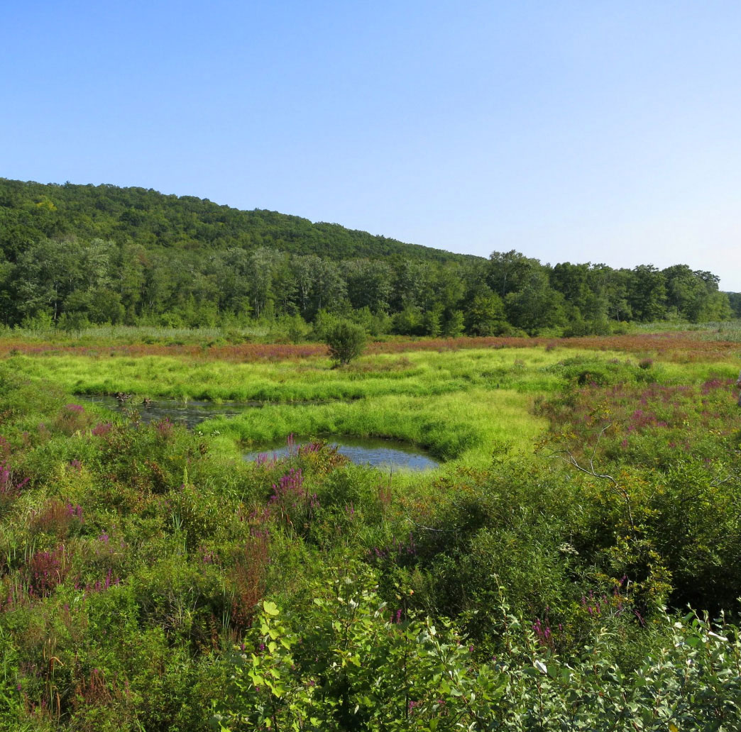
3. Meeker Swamp & Viewing Platform
Meeker Swamp is a unique calcareous wetland – a chalky limestone-based geology rarely found east of the Appalachian Mountains. One of the last significant calcareous ecosystems in the Northeast Hills, it encompasses over 300 acres and includes part of the Bee Brook stream, wet meadows and agricultural fields as well as an adjacent ridge of talus slopes and rocky outcroppings. An excellent habitat for a variety of wildlife, the preserve overlies one of Washington’s largest aquifers and protects the town’s drinking water supply.
Directions to meeker swamp
Directions: Follow the Yellow Circle Trail from the parking area. The entire 15-minute trek is flat. The grassy trail crosses over Bee Brook and then passes through a large meadow teaming with birds, butterflies and other wildlife. After leaving the meadow, the trail traverses the edge of a large hay field, leading to an elevated platform providing visitors with a bird’s-eye view of the expansive Meeker Swamp. (0.77-mile one-way)
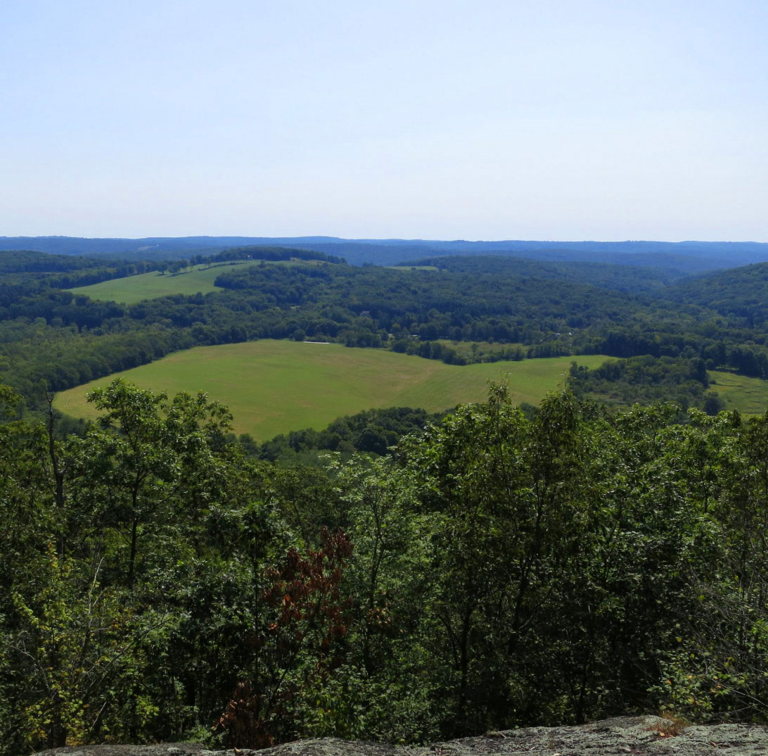
4. Macricostas Lookout
En route to Waramaug’s Rock, the lookout provides a welcome resting spot with a scenic view of the hayfield adjacent to Meeker Swamp. The hayfield and surrounding meadows are home to myriad varieties of songbirds, butterflies and other wildlife. Hidden Valley Preserve forms much of the southeastern horizon.
Directions to Macricostas Lookout
Directions: Follow the Yellow Circle Trail from the parking area. This 30-minute trek traverses a mélange of environments. The trail starts flat, crosses over Bee Brook and meanders through a large wildlife meadow before skirting a hayfield to the forest edge. After crossing Bee Brook again, the path then climbs steeply along a series of switchbacks before emerging at a rocky outcrop, revealing an expansive view southeast over a nearly unblemished countryside. (1.11 miles one-way)
FAQs & Rules
Please help us protect the natural beauty and integrity of the preserve by not removing or destroying plants, animals, rocks, minerals or other natural objects. Click below to see how you can best help us protect the environment.
Rules of Macricostas
- Leave No Trace.
- Collecting and foraging are prohibited without a permit.
- Do not remove or destroy plants, animals, rocks, minerals or other natural objects.
- Open sunrise to sunset, daily.
- Park cars in designated areas.
- Motorized vehicles are prohibited. Use of Other Power-Driven Mobility Devices is restricted. For
approval, contact the SRA Office at (860) 868-9131. - No bikes, e-bikes, or motor bikes.
- No hunting.
- No alcoholic beverages.
- No loud noise or music.
- Dogs must be leashed at all times.
- Fires are not permitted.
- No camping.
- No horseback riding.
- Do not harm trees by chopping, carving or driving nails.
- Do not litter: please carry out what you carry in.
- Drones are prohibited.
- Commercial activities are prohibited without a permit issued by the Executive Director and/or Board of
Trustees. - Groups of 15 or more people require a group use permit.
Winter Trail Rules
- Cross-Country Skiers: Please set tracks on one side of the trail only.
- Hikers, Snowshoers and dogs please respect ski tracts by keeping to the other side of the trail.
